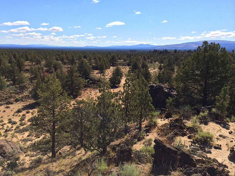
A One-Night Backpacking Trip in the Oregon Badlands Wilderness
The Oregon Badlands Wilderness is managed by the Bureau of Land Management, and became part of the National Wilderness Preservation System in 2009. My trip started at the Badlands Rock Trailhead 27 miles east of Bend, Oregon. On the first day I hiked the Badlands Rock Trail and the Tumulus Trail before setting up camp for the night. Day one was a total of of 12.75 miles. On day two I hiked on the Basalt Trail, Black Lava Trail, Flatiron Rock Trail, and Homestead Trail, for a total of 11 miles. Total trip distance was 23.75 miles.
Larger trail map is available here.

Sagebrush, Junipers, and wildflowers:
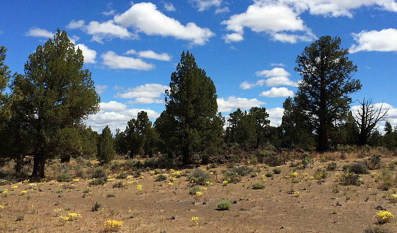
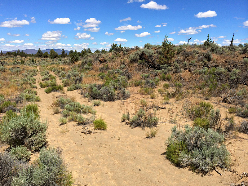
Lava and sagebrush. This is what most of the Badlands looks like.
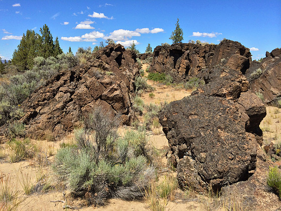
Badlands Rock:
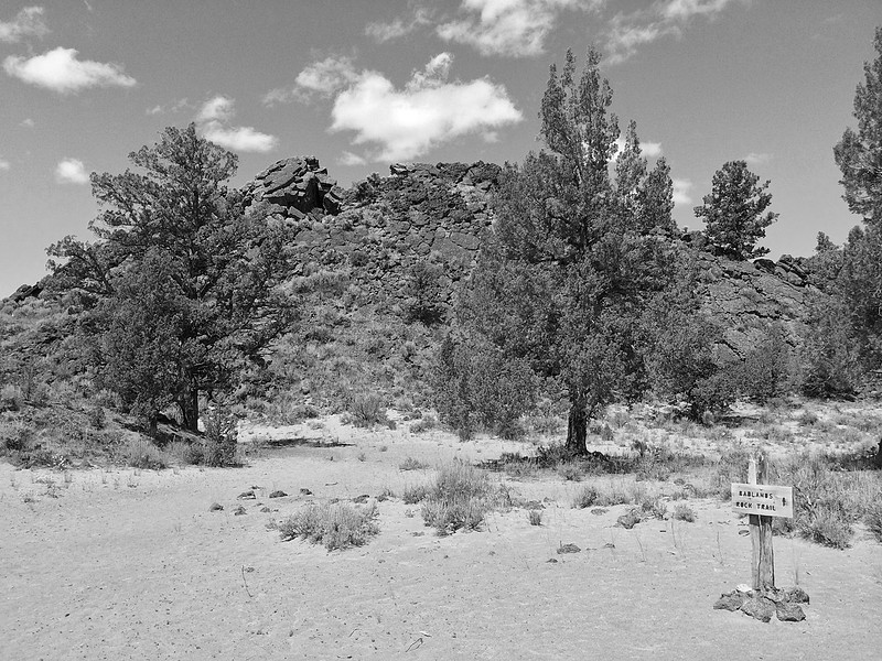
The faint trail through the sagebrush:
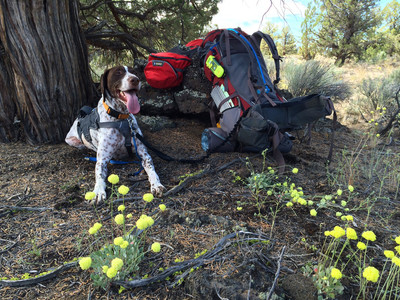
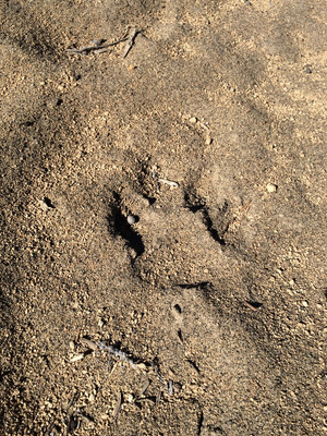
Tabor resting in the shade: Animal tracks in the sand:
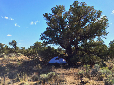
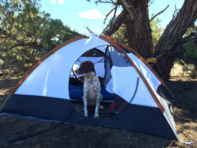
Camp setup under a juniper tree:
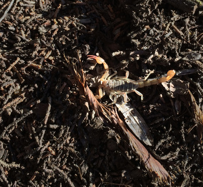
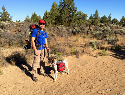
The surprise I found when rolling up the tent: Setting out on day two:
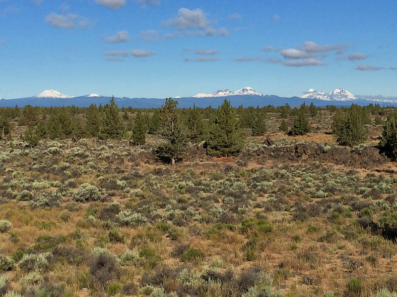
Left to right: Mt. Bachelor, Broken Top, South Sister, Middle Sister, North Sister.
Flatiron Rock:
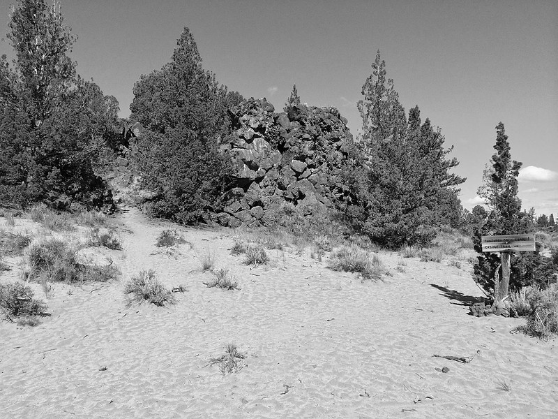
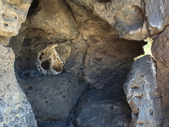
Caves, pockets, and lava tubes atop Flatiron Rock:
The view east from the flat summit of Flatiron Rock. This is the terrain that I was hiking through.