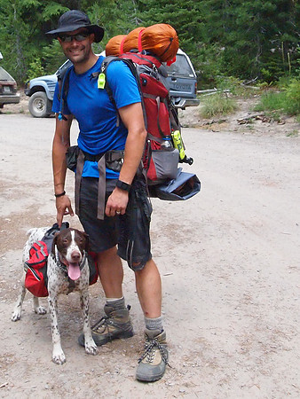
Goat Rocks Backpacking Trip
A 4-day, 3-night, 30 mile backpacking loop through the Goat Rocks Wilderness in the southern Washington Cascades.
Route Overview
Starting at the Berry Patch Trailhead, 15 miles south of Packwood, Washington.


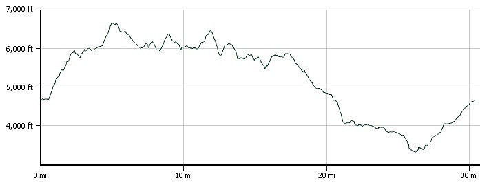
Elevation Profile
Maximum Elevation: 6,658 feet. Total elevation gain: 5,886 feet.
Day 1: Berry Patch Trail Head to Snowgrass Flat

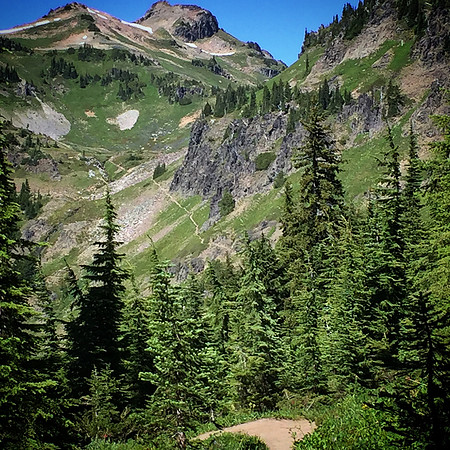
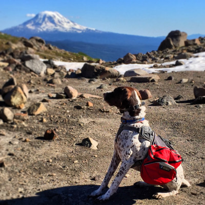
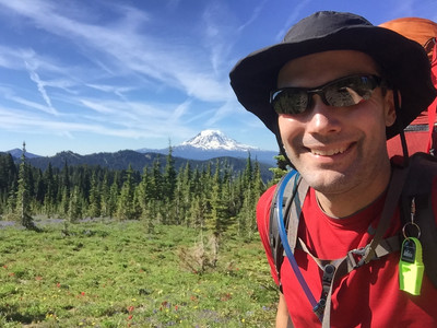
Beautiful views of Mount Saint Helens, Mount Adams, and Mount Rainier (not pictured).

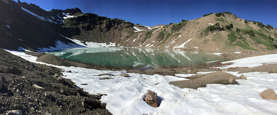
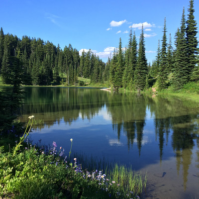
Goat Lake was mostly thawed, with just a few bits of ice floating in the back.
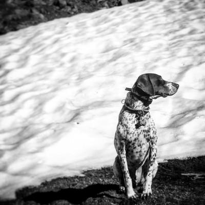
Tabor enjoyed cooling off next to the snow, and the great views.
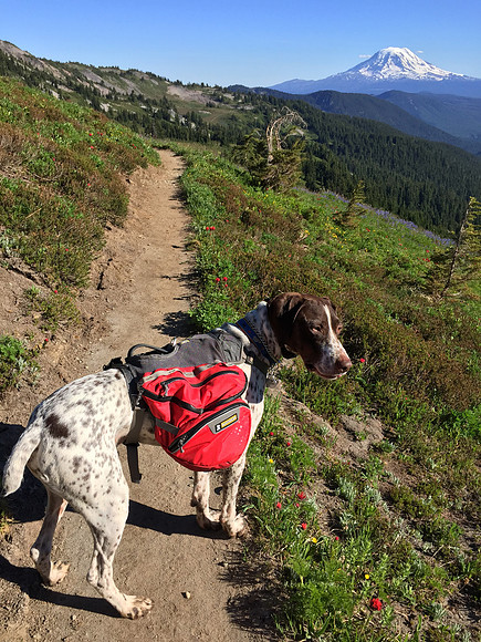
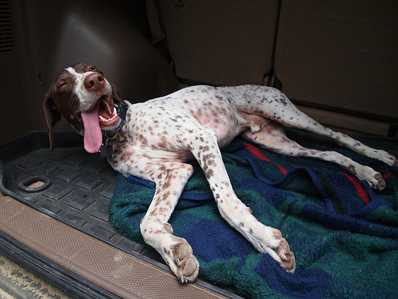
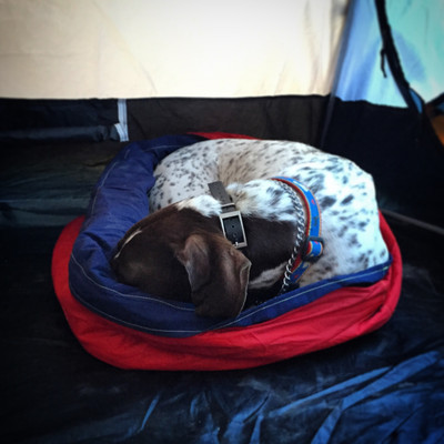
By the time we made camp the first night, Tabor was too tired to enjoy the sunset.

Day 2: Snowgrass Flat to Sheep Lake
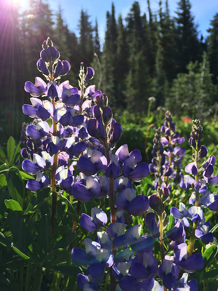
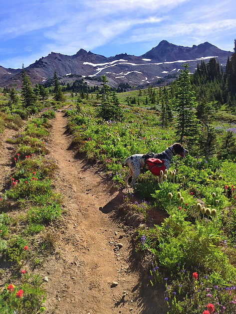
Most of day two was spent on the Pacific Crest Trail.
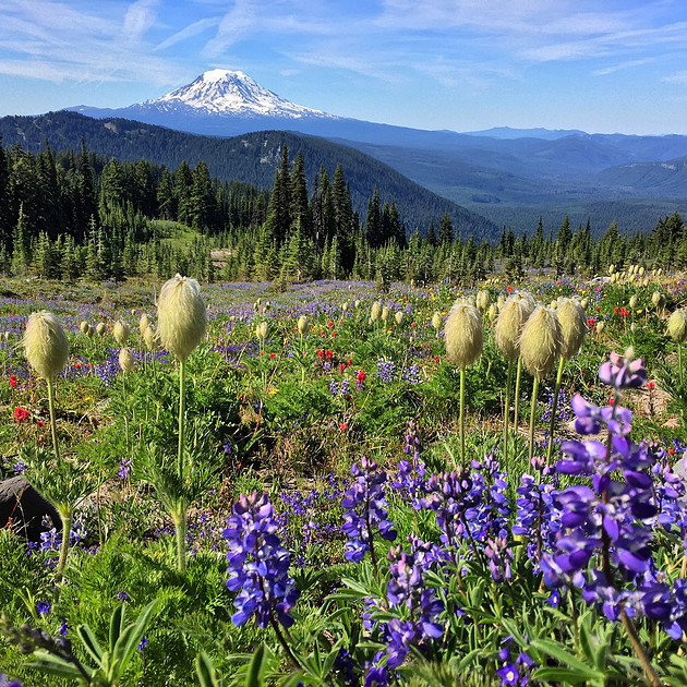
Wildflowers were everywhere. This picture has Mount Adams in the background.
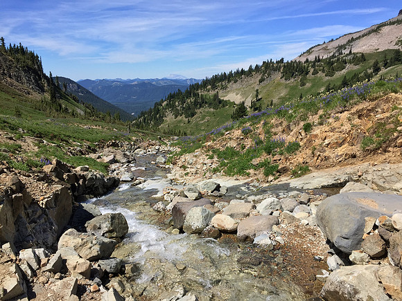
This view shows the namesake "Goat Rocks" in the background, with the Cispus River Valley in the foreground covered in wildflowers. Although the guide says they're in the area, we didn't see any goats among the rocks.

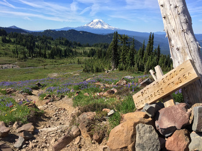
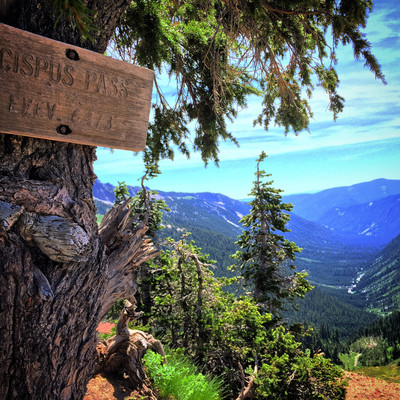
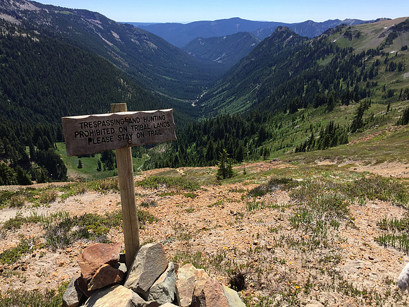
Reaching the summit of Cispus Pass (elevation 6,473 feet), there is a expansive view of the Klickitat River Valley which is located within the Yakima Indian Reservation. Note that the sign warns hikers to stay on the trail and that trespassing is prohibited on tribal lands.
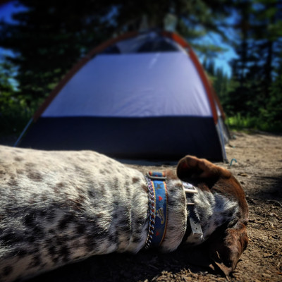
By the end of day two, Tabor just wanted to wade in the lake and snooze next to the tent.
Day 3: Goat Lake to Walupt Lake
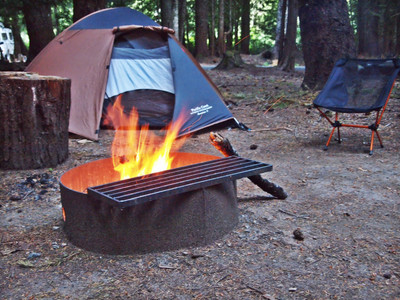
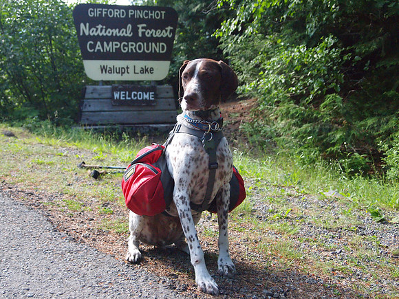
Day three was spent on the Pacific Crest Trail again until we took the Walupt Lake trail west to the Walupt Lake campground. Unfortunately, dogs weren't allowed on the lake beach access, so we had to cool off in the creek instead. We were the only backpackers in the campground amid dozens of RV's, (many running generators into the evening to power microwaves and TV's...)
Day 4: Walupt Lake to Berry Patch Trail Head
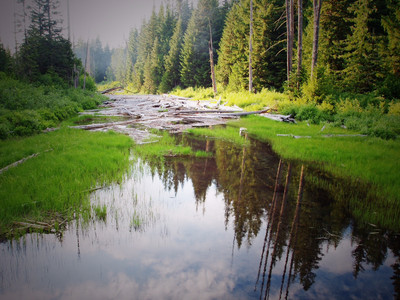
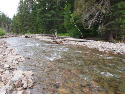
The last day was spent on the Klickitat Loop Trail, which is an old trail that is mostly unmaintained. Even though we had a map of the trail, it proved to be difficult to follow. The river shown is the Cispus River (we crossed the headwaters of the Cispus River on day two), and without a footbridge it required fording with boots off and Tabor leashed up to my pack. The river was waist deep and about 25 feet wide.
We were glad to make it back to the car. 30 miles and four days later.