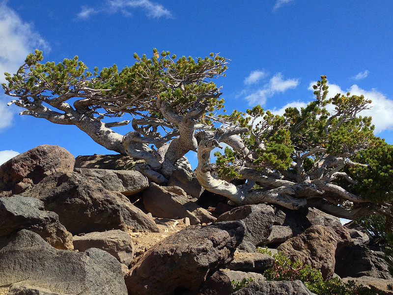
Mount McLoughlin Summit Hike: August 29th, 2013
Click here for the pictures without the trail log.
Starting from the Mount McLoughlin trailhead on Forest Service road 3661, the hike is 5.5 miles each way (11 miles total), and gains 3,995 feet of elevation on the way to the peak of the mountain at 9,495 feet. I set out at 5:00 AM with the hope of seeing a good sunrise. The sunrise was beautiful, but when it happened I was still about 30 minutes from a good viewpoint.
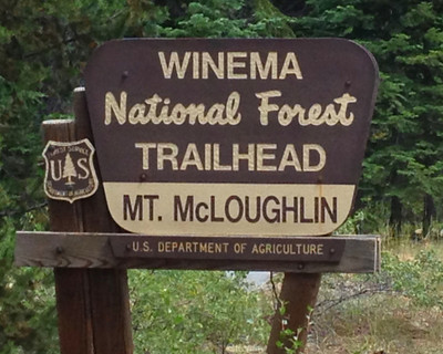

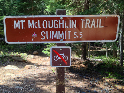
According to the climbers register I was the first person to set out on the trail that morning. On the way up I passed two folks who had camped on the trail the night before and then summited the mountain early in the morning with the goal of seeing the sunrise from the top. On my way back down the mountain I was passed by 14 people heading up to the summit.
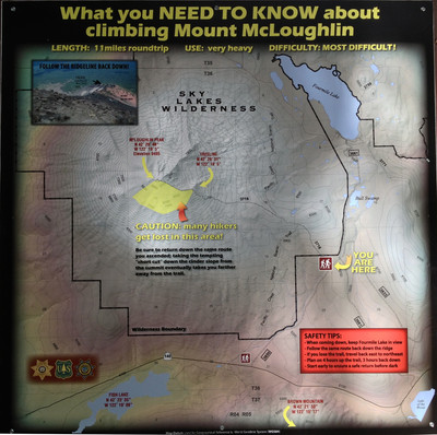
There's very little excuse for those who get lost on the hike down, as there are two large signs warning hikers to stay on the trail and not attempt a shortcut.
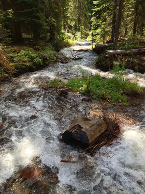
One of the first things visible on the trail is the crossing of the Cascade Canal:
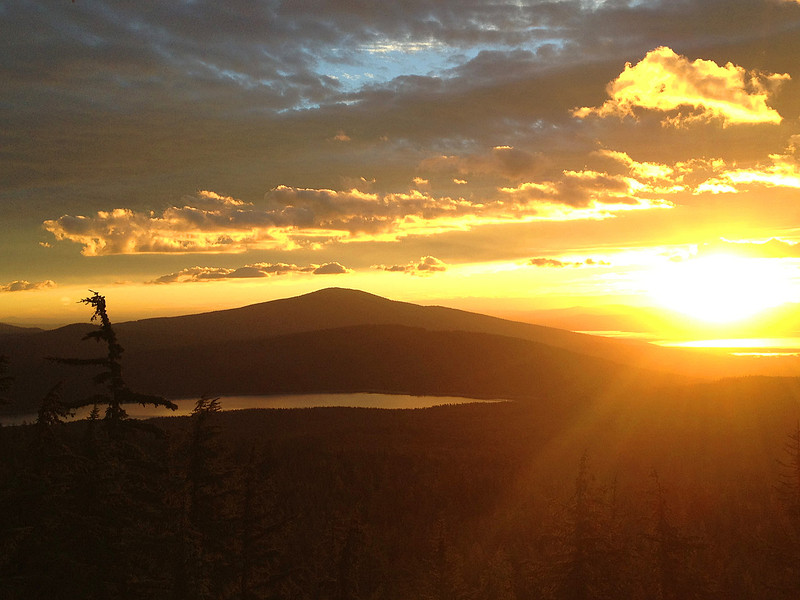
This is the sunrise I enjoyed half way up the mountain. Fourmile Lake in the foreground, Pelican Butte behind it, and Upper Klamath Lake reflecting the rising sun in the background on the right:
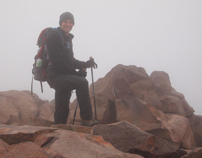
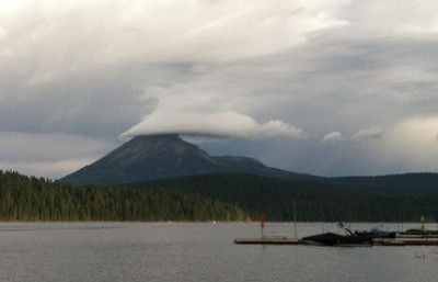
As I got close to the summit, it became clear that I wouldn't be enjoying a 360 degree view from the top. A lenticular cloud was clinging to the top of the mountain, and I had only a few brief glimpses of the scenery from the top. Lesley was kind enough to snap a picture of the cloud shrouded summit while I was at the top.
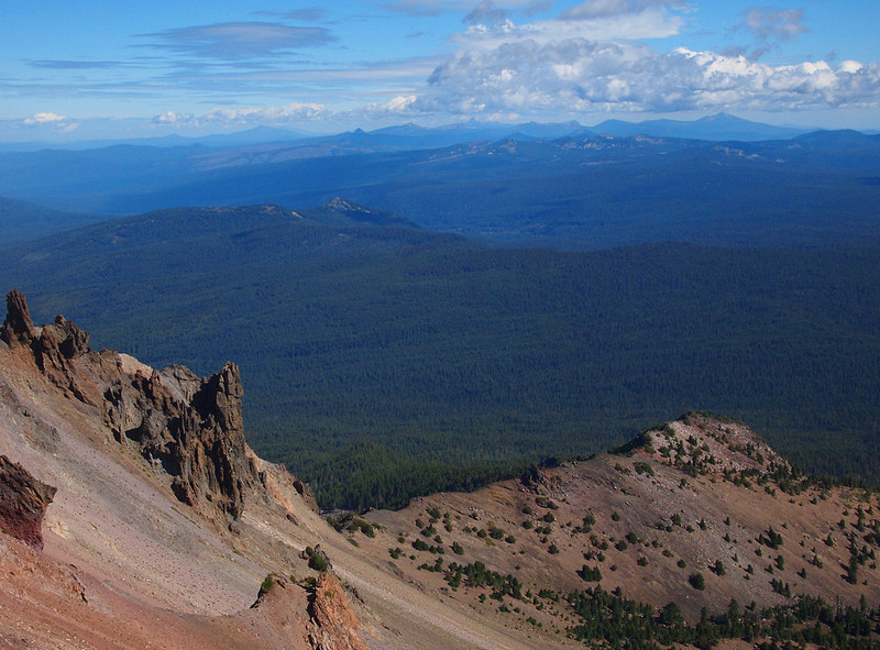
Once I started hiking down and out of the cloud, I had great views of the surrounding terrain.
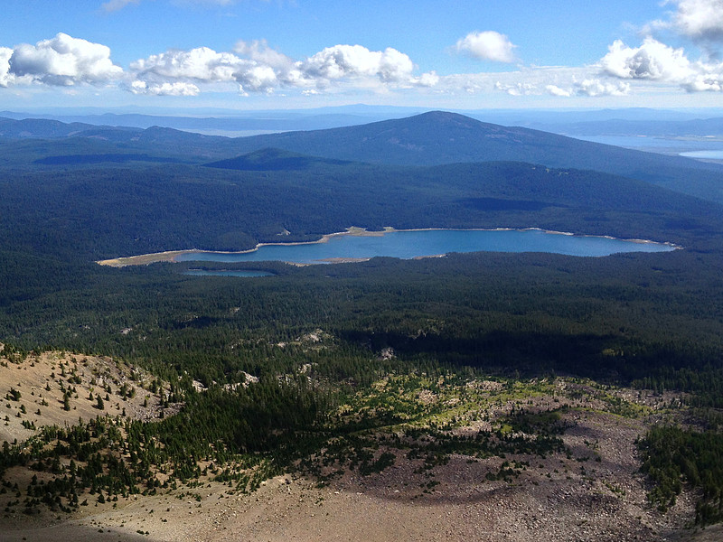
Fourmile & Squaw Lakes with Pelican Butte in the background:
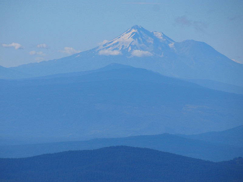
Mount Shasta:
Lake of the Woods:
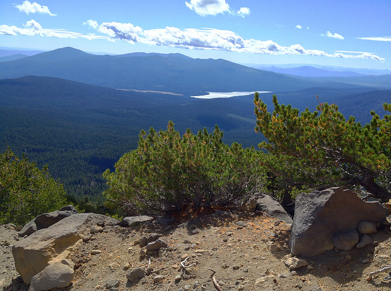
The view to the north, with Mt. Scott and Mt. Thielsen in the distance:
Whitebark Pine along the trail: