Circumnavigate and Summit South Sister: August 1st Through August 4th, 2013
Click here for the pictures without the trail log.
Thursday, August 1st, 2013: Devil's Lake Trail Head to Reese Lake.
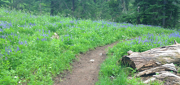

I Parked the car and left the Devil's Lake trail head at 12:45 PM. It was sunny with a temperature in the mid 70's. The starting elevation was 5,491 feet. I hiked up the Elk-Devil's trail, and then the LeConte Crater trail to reach the Pacific Crest Trail (PCT). Once on the PCT I was socked in with low clouds, and was slowly getting wet and cold. Along the PCT there were many fields of wild flowers.
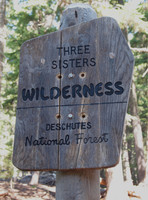
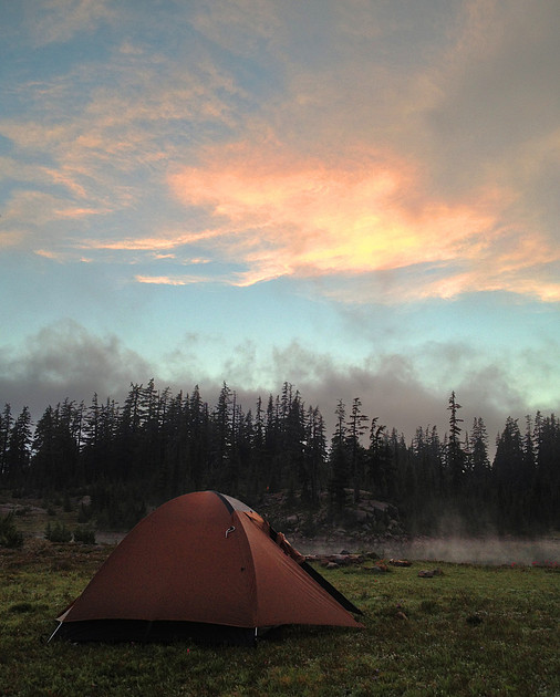
I reached Reese Lake by 4:30 PM, elevation 6,450 feet. It was a total of 8.62 miles from the trail head to the lake. The weather was so socked in that I almost missed the lake directly next to the trail. As I was finding a spot for the tent, the fog turned to light rain. I setup the tent and put on more clothes including the warm hat and gloves that I hesitated to pack. The thermometer on my pack said it was 45 degrees. There were two other tents setup on the other side of the lake.
The rain finally passed and I ventured out to filter some lake water to use for making dinner. It was surprising how warm the lake was - probably because it's fairly shallow. I made a cup of tea to warm up as I cooked my pasta for dinner.
Just above camp snow was visible on the base of South Sister, although the mountain itself was shrouded in clouds. By 8:00 PM I had washed my dishes and filtered more lake water for tomorrow's hike, and the clouds were completely gone revealing South Sister. I turned in for the night around 9:00 PM, the temperature was under 40 degrees already.
Friday, August 2nd, 2013: Reese Lake to Park Meadow.
I woke at 5:00AM after hearing the other campers up. It was foggy with light drizzle, and 40 degrees. I couldn't see the mountain through the clouds. I slept warmly last night - with all of my clothes and hat and gloves on... It was dead quiet during the night except for once hearing distant rock-fall echoing off the mountain face. The socks I left hanging in the tent didn't dry during the night. By 6:00 AM it was clear outside and colder; 35 degrees. I made coffee and breakfast, packed up camp, and set out hiking by 7:00 AM.
Heading East from Reese Lake, the trail across the high saddle between Middle and South Sisters was initially obvious, but quickly disappeared. The guide I read online mentioned this might be the case, so following its advice I hiked up the dry creek bed of Separation Creek. The trail was now obvious.
Much of the high country between Middle and South Sisters consists of alpine meadows.
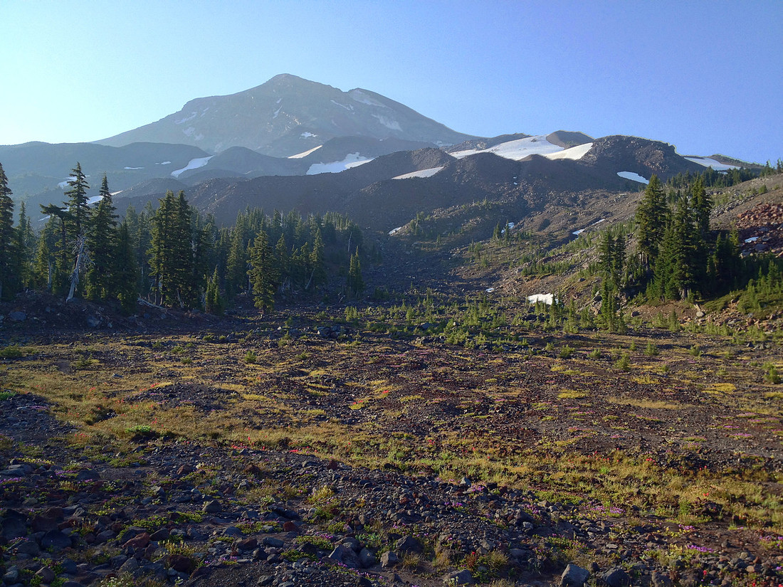
Eventually, the trail degrades into nothing more than a small game trail with some footprints in the dust.
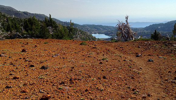
The summit of the pass between Middle and South sisters is 7,385 feet. As I approach the Chambers Lakes area, there are several small snowfields to cross.
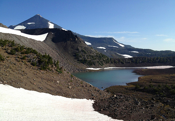
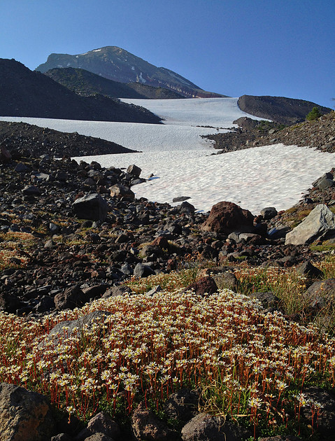
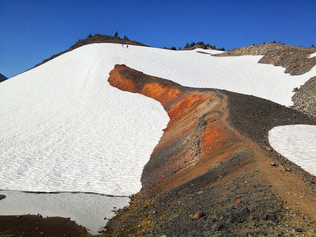
From here I could see all 3 Sisters. The final descent from the high saddle down to the east side of the Cascades involved descending a steep snow field. I had to kick in my steps and brace myself with my hiking poles. Mid way down I passed two guys who were working their way up the snow field. They said that yesterday they followed the same easterly route that I'm taking, and now they're heading back west to continue hiking on the PCT.
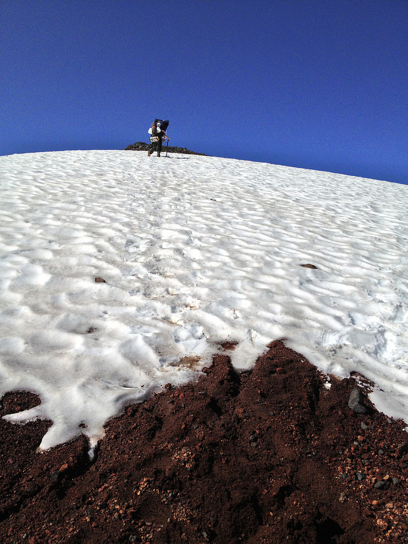
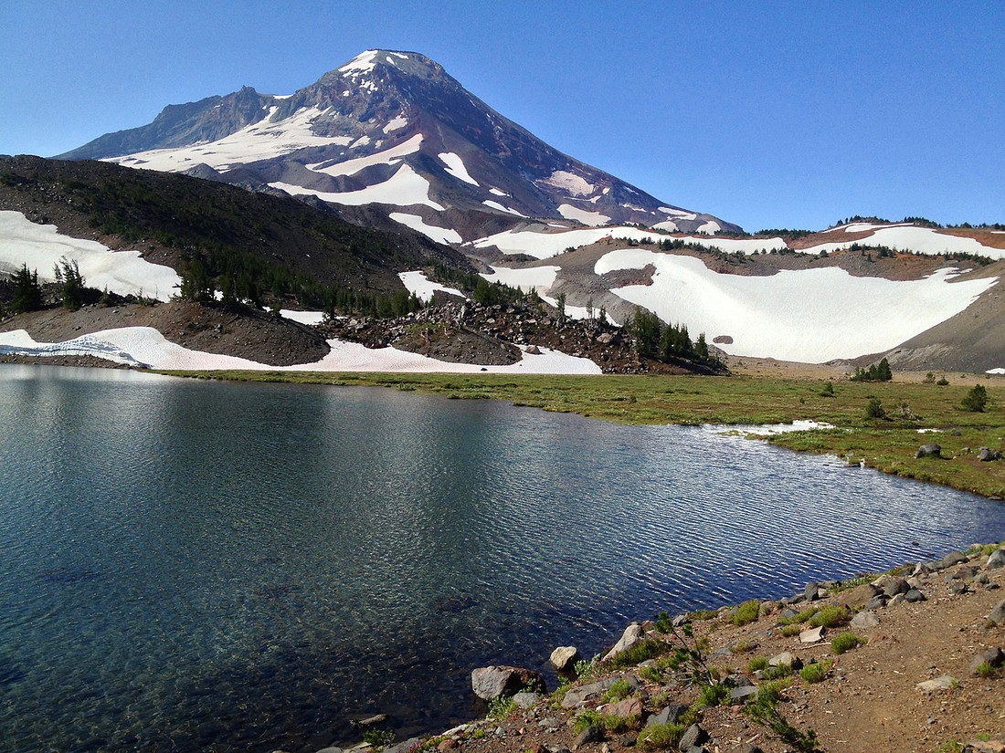
From Camp Lake I could see Broken Top, South, Middle, and North Sisters. I chatted with two retired guys from Phoenix who were camping at Camp Lake. They backpack in the Oregon Cascades in the summer, and in Arizona in the winter.
Not far past Camp Lake I got an even better view of all four mountains.
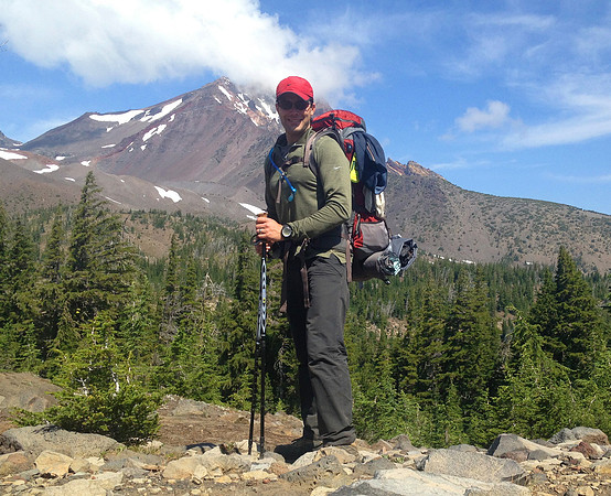
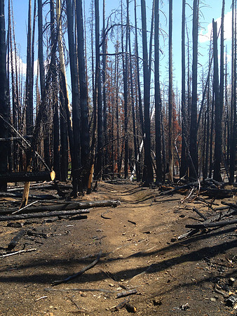
As I entered the Pole Creek burn area, a sign on a tree said that camping was not allowed. The forest was completely black. On the other side of the tree a sign specifically stated that hikers heading the other direction were leaving the camping restriction area. I reached the junction with the Green Lakes trail where I then turned south. Again a sign on a tree specifically stated that camping was not allowed in the burn area. I had thought that my planned camping spot tonight was outside of the burn area, but now I wasn't certain. And at this point my backpack felt like it had put on an extra hundred pounds.
As I continued hiking through the burn area, I stopped to get water from a river that I could filter later in case the water at the lake near my planned campsite was green. I heard occasional thunder in the distance. I finally reached my planned camp site, but have yet to come across the sign indicating that I've left the camping restriction area. And of course, the lake water looked fine. I filtered the water that I carried from the river, and snacked while I waited. The thunder to the west was getting louder, and the storm clouds were blocking out the sun. I put on my rain gear and pack cover and kept hiking, looking for the sign indicating the end of the camping restriction area.
As I approached Park Meadow I saw one tent setup there. The forest and meadow were green - not burned - but I still hadn't found the sign indicating the end of the restricted area. The thunder was close and loud now, so at 3:45 PM I found a spot to pitch the tent despite the lack of an official sign. The rain started just as I was putting the rain fly on the tent. There was lots of rain and thunder, and some lightning. I heard someone walk by on the trail singing. I hoped it wasn't someone who was going to tell me that I couldn't camp here. I heard a second person walk by and swore that I hear them call my name. They kept on hiking, and by the time I got out of my tent I didn't see them on the trail anymore.
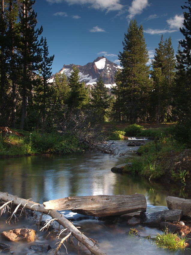
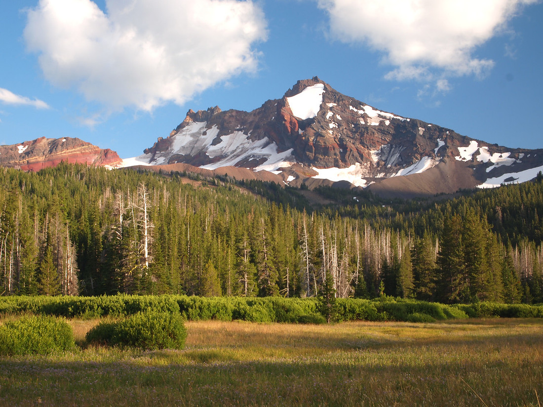
At 5:00 PM I decided it was time to make dinner. By 6:30 PM the sun was out and the storm had passed. The thunder was far off to the northeast now. I ventured out of the tent with the camera to take some pictures of Broken Top.
By now there were two groups camping in the meadow now. One was a family of four with a son named Trevor. I took pictures until 7:30 PM, and then brushed my teeth and head to bed to read for a bit. Friday's hike was 13.0 miles - 4 more than originally planned as I was attempting to hike out of the Pole Creek burn restriction area.
Saturday, August 3rd, 2013: Park Meadow to Moraine Lake.
I woke at 5:30 AM. As I was going to get up I heard something scratching the ground nearby. It quickly left. I wanted to get an early start so I packed and hit the trail. I ran into a retired guy going the other direction - circling all three sisters counter clockwise. He had originally planned on hiking south towards Willamette Pass, but changed his plans after he heard from other hikers that the mosquitoes were thick in that area. He figured it would take a few weeks to complete his trip (he only hikes for a few hours each morning). He wanted to give me coordinates to the best spot to camp near Moraine Lake, which would avoid the crowds that are typically at the lake, but I didn't have a GPS. We chatted for 20 minutes or so before moving on.
I accidentally ended up at Golden Lake - a half mile off of the Green Lakes trail. I back-tracked twice before I figured out where the main trail was and where I had taken a wrong turn. Back on the main trail I reached a high meadow on the west side of South Sister. From there I could see all three Sisters, Broken Top, and Mt. Bachelor.
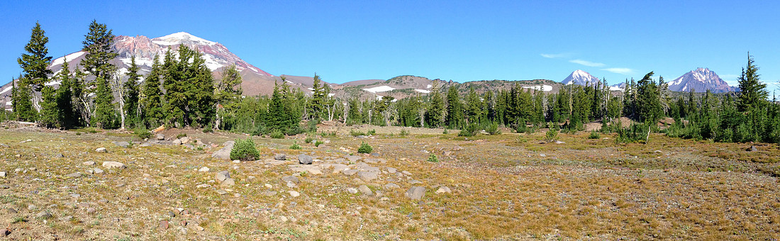
I stopped at 8:30 AM to make coffee and breakfast, and peeled off some of my cold weather clothing as it was starting to warm up quickly. Continuing on I reached Green Lakes at 9:30 AM.
A bad blister was starting to form on my left foot. I stopped at Green Lakes to tape it up in an effort to prevent it from getting worse. From here as I continued hiking the trail was packed with dozens of day hikers. Many of them stopped to ask me where I'd been, and where I was headed. I ran into a lady and her dog who were backpacking around all three Sisters in 7 days. We chatted about PLB's for a few minutes.
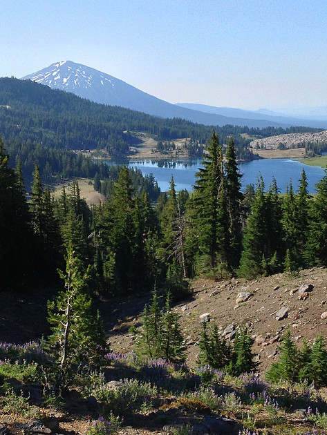
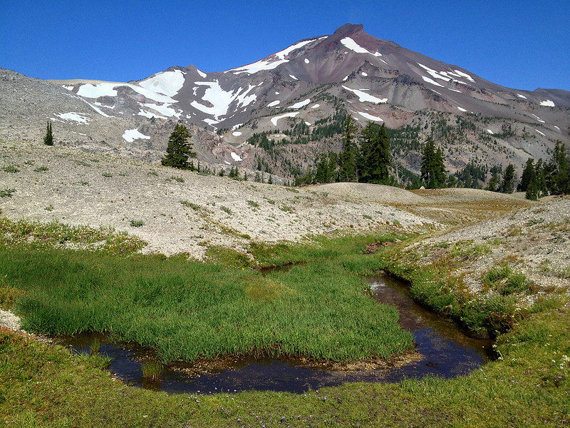
I ran out of water just as I approached the Moraine Lake trail. I should have filled up at one of the 6 streams I had just crossed in the past 3 miles. The map said that there was a stream crossing one mile ahead. When I reached the stream, it was bone dry. From here it was only another 1.5 miles to Moraine Lake, but it was all up hill.
Once I reached Moraine Lake I filtered water and had lunch. A hiker I passed on the trail earlier in the day had suggested that I camp above Moraine Lake instead of around the lake - and now I see why. The lake is in a deep valley which would just add to the effort (mileage and climbing) required to get to the top of South Sister in the morning. I decided to hike up the climbers trail for a bit and find a place to camp. Before leaving Moraine Lake I filtered extra water to carry in my secondary bag - knowing that there won't be a water source above.
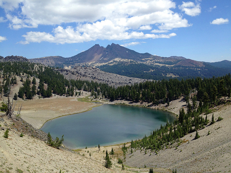
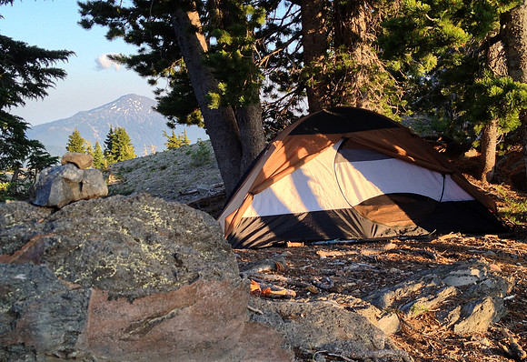
At 3:00 PM I found a spot to setup camp just off the climbers trail at 7,340 feet. There was a view of Mt. Bachelor just behind my tent. There were dozens of people walking off the mountain all afternoon - and a few going up. From where I chose to camp it's a 2.3 mile hike to the top, with 3,000 feet of elevation gain. After setting up the tent, I unpacked my backpack to make it lighter for tomorrow's day hike.
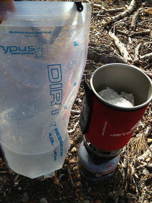
At this point I realized that half of the water I had filtered at Moraine Lake and was reserving for the hike tomorrow had leaked out (I had sat the backpack down on the bite valve - causing the leak). So I melted and filtered enough snow (from the snow field directly next to camp) to fill up the water bladder and have water for dinner and breakfast. Melting snow for water is surprisingly inefficient.
After making dinner - the best tasting one yet - curry couscous with chicken and vegetables, I sat outside eating while chatting with people descending the mountain. Two guys with camp equipment headed up the mountain. I used the map and compass to figure out that Diamond Peak was visible far off in the distance. From camp I could also see Mt. Bachelor and South Sister - although I was close enough to South Sister that it looked more like a steep hill than a 10,000 foot mountain.
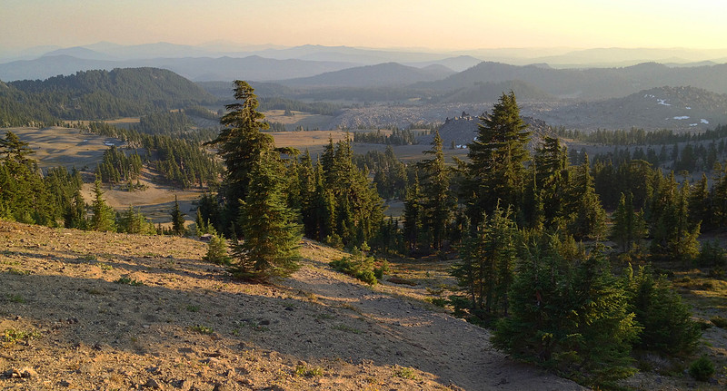
The wind died down near sunset. It was perfectly calm and quiet except for an occasional bird. I sat and looked out over the mountains to the south. There were no roads or cars or towns visible - just mountains and trees as far as I could see.
 Sitting there I saw an occasional humming bird visiting the flowers nearby. By 8:00 PM it was time to get ready for bed and set the alarm for an early start in the morning. Today's hike was 12.7 miles.
Sunday, August 4th, 2013: Moraine Lake to South Sister Summit, and then Devils Lake Trail Head.
I woke up during the night to the wind blowing hard which made it difficult to fall asleep again. But by 1:00 AM the wind was gone and it was hikers on the trail that woke me. The sound of hikers woke me at 2:00 AM and 5:00 AM as well. At that point I decided to get up and start hiking. It was barely dusk out and I had to use a headlamp to hike for the first half hour. Two trail runners passed me on their way down - running by headlamp. I passed two other people descending the mountain as I hiked up.
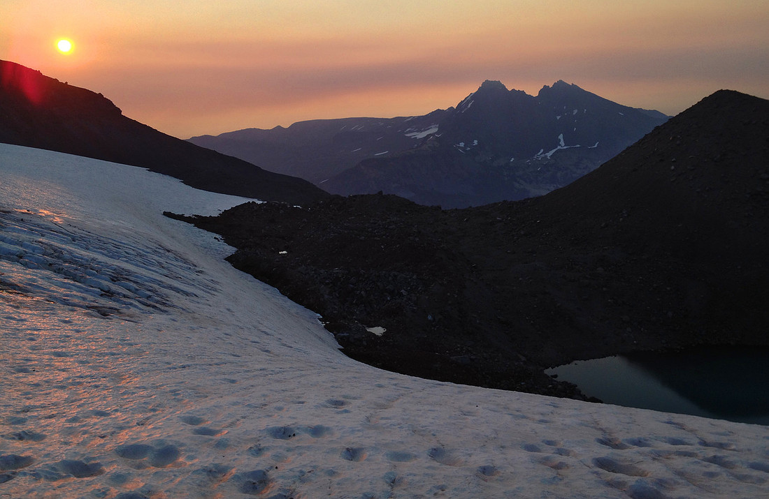
The sun rose when I was about halfway up the trail. I stopped to take a few pictures of Lewis Glacier with Broken Top and the sunrise in the background.
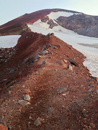
The last 1,000 feet of elevation gain was scrambling over loose lava rock, and was extremely steep. The "trail" then quickly leveled off as I approached the top.
The top of South Sister looked like a snow filled crater, with a flat and easy trail around the perimeter. I saw four tents setup from people who had spent the night on the summit. There were about a half dozen horseshoe shaped wind-break walls hand built out of available lava rock boulders. Most of the tents were setup within one of these shelters.
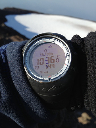
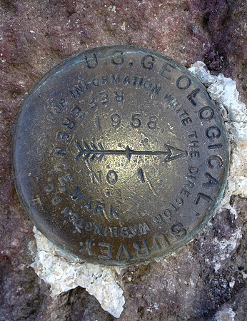
It was another easy half mile hike to a rock outcrop which is the true summit of South Sister, elevation 10,358 feet (the wrist altimeter said 10,360 feet as I sat on top of the outcrop).
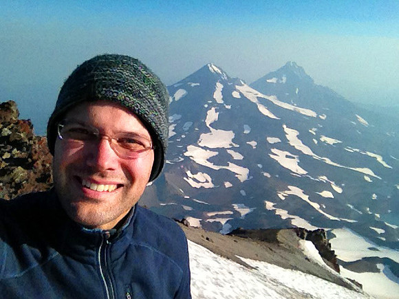
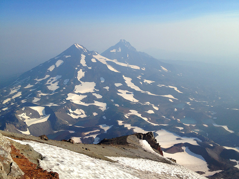
There was a fair amount of smoke, so I couldn't see "half of Oregon" as many sources claim. But I had a fantastic view of Middle and North Sisters, Broken Top, and Mt. Bachelor.
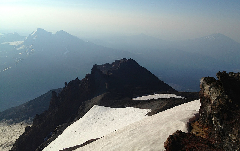
Additionally there was plenty of snow in the high country, and alpine lakes with large pieces of ice floating in them. The top of South Sister is also home to Oregon's highest lake, Teardrop pool. But it was completely frozen over.
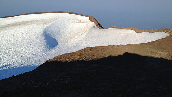
After 30 minutes of taking pictures at the extremely cold summit, it was time to head back down the mountain.
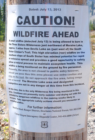
In summary, from where I camped Saturday night, it took me 2.5 hours to hike 2.3 miles to the summit (yes, that's less than 1 mile an hour), with 3,018 feet of elevation gain. The return trip took only 1.5 hours. I was back to camp by 9:30 AM, broke down camp in 30 minutes, and by 10:00 AM I was on the trail headed towards the car at Devil's Lake trail head. This last leg of hiking had 1,800 feet of additional descent, all in the last 1.5 miles. And to top it off there was a wildfire nearby. By 11:30 AM I was back to the car. Today's hike was 7.8 miles.
Four day mileage summary:
- Thursday: 8.62 miles
- Friday: 13.0 miles
- Saturday: 12.7 miles
- Sunday: 7.8 miles
- Total: 42.12 miles
Click here for the full route map (PDF).